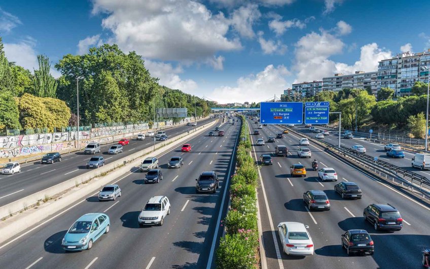
The SETTRE system (Real Time Traffic Evaluation System) is responsible for measuring traffic in Madrid in real time, among other functions. It was implemented in 2010 and has been adding new services, to offer even more comprehensive traffic control data. Before this system, stations with intelligent sensors were used to obtain rapid traffic information.
This system can be classified as a machine learning tool; part of the new trend in artificial intelligence is to develop techniques for machines to learn by themselves.
The implementation of this artificial intelligence system permits accurate measuring of traffic conditions on the M-30 in real time. Along the entire road (about 200 kilometres and with a perimeter of 32 kilometres, including 48 kilometres underground), 367 points were installed to measure traffic at all times from different calculations. By assessing the speed, intensity and occupancy of the traffic through this SETTRE system, it is possible to anticipate possible incidents and, among other things, calculate approximate journey times.
The SETTRE system allows you to know, at all times, the state of the 200 kilometres that make up the M-30. In addition, it informs you about possible roadworks, incidents, traffic congestion levels, road closures and reopenings at different points of the road.
The M-30 has 367 traffic measurement points that monitor the influx of vehicles along the road. This system measures the speed, intensity and occupancy of vehicles on the road, gauging the current traffic situation and dividing it into four levels:
This information is reported in real-time on the road, with information updated every five minutes. Congestion levels are displayed in over 500 roadside panels.
This road control system detects any type of incident that occurs on the road and can even foresee possible problems that may occur minutes later. The objective is to keep the road in the best conditions for safe use, 24 hours a day, 365 days a year. One of the measures is therefore to offer advance notice of planned maintenance.
In addition, when a new incident occurs, the SETTRE system displays informs in the roadside panels so that users of that section of the road are made aware of the incident. This is all with the aim of restoring normal conditions in the shortest time possible.
You can stay up to date with conditions at all times, thanks to the system of over 1600 cameras, 700 SOS posts, communication nodes, optical fibre and over 40,000 lights. Information is conveyed to road users directly from the control centre.
The cameras and traffic control points installed along the M-30 calculate the estimated time to a given point, displaying this information on the roadside panels. The Emesa website also provides a journey planner tool where you can calculate your own route, giving you an approximate arrival time based on subsequent departures (for examples, if you leave in 15, 30, 45 minutes or one hour), based on the calculations provided by the SETTRE system.
In summary, the SETTRE artificial intelligence system controls the state of the roads at all times through cameras, measuring points and other high-tech tools, to inform users in real-time of traffic levels, incidents, closures and reopening of roads.